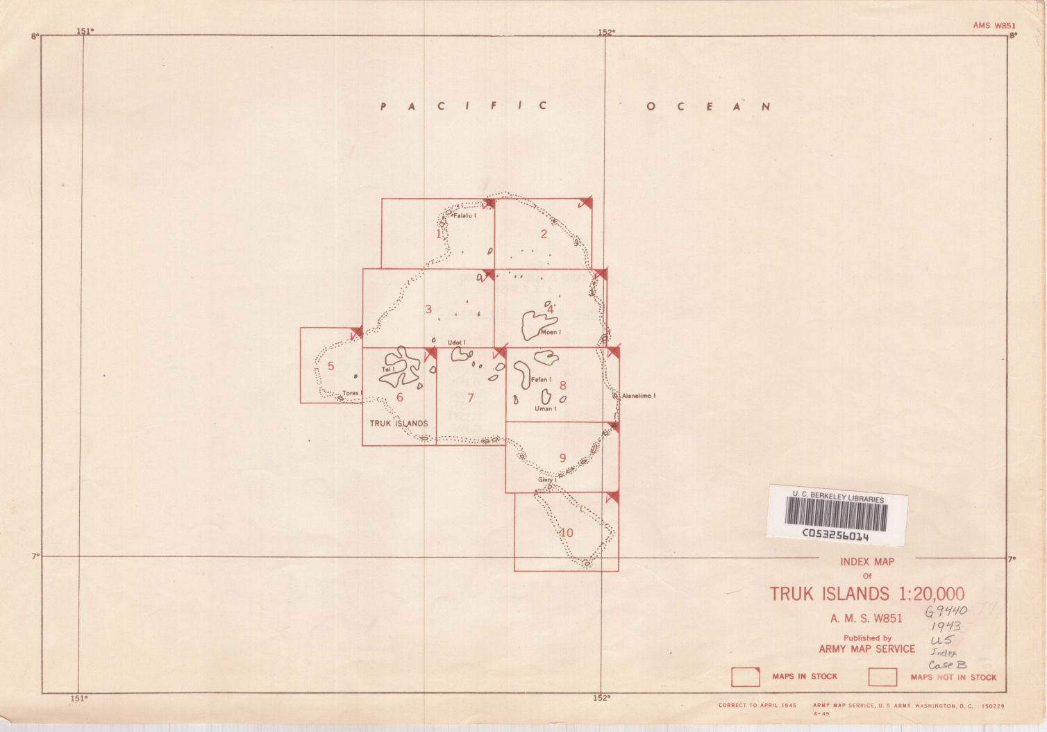
Truk Islands (Hogolu Islands) Caroline group /
| Corporate Authors: | , |
|---|---|
| Other Authors: | |
| Format: | Map |
| Language: | English |
| Published: |
Washington, D.C. :
Army Map Service,
1943.
|
| Edition: | 1st ed.-AMS 1. |
| Series: | AMS series W851
|
| Subjects: | |
| Online Access: | Index map: |
| Item Description: | Relief shown by form lines and spot heights; depths shown by soundings. Title from sheet one; subsequent sheets have abbreviated title. "Mercator projection with standard parallel 7⁰ 20.́" Military grid. "The relief lines ... are form lines at approximately one-hundred foot intervals. Soundings in fathoms." Insets: Index to sheets.--Grid system (on sheet 1 only). Cartographic material. |
|---|---|
| Physical Description: | 1 map on 10 sheets ; 137 x 101 cm. or smaller. |