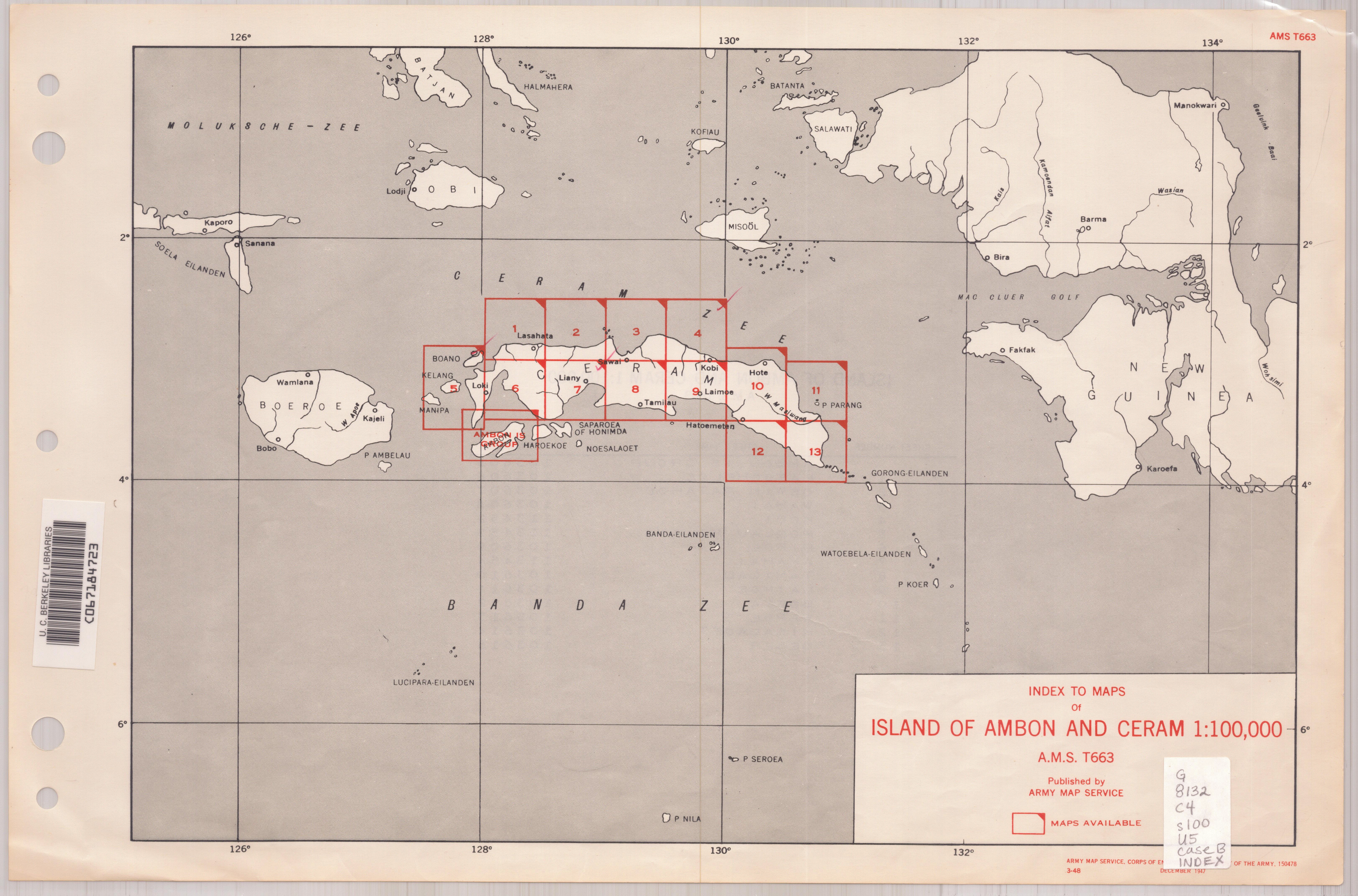
Ceram 1:100,000.
| Corporate Author: | |
|---|---|
| Format: | Map |
| Language: | English |
| Published: |
Washington, D.C. :
Army Map Service,
1944-
|
| Series: | Series (Standard map series designation system) ;
T663. |
| Subjects: | |
| Online Access: | Index map: |
| Item Description: | Relief shown by contours and spot heights. "Contour interval 50 meters." Paths, internal boundaries, and areas of vegetation and cultivation are shown. Coverage complete in 13 sheets. Based on Dutch maps. Military grid. Includes "Glossary." Marginal maps: Index to boundaries.--Index to adjoining sheets. Cartographic material. |
|---|---|
| Physical Description: | maps : color ; 75 x 60 cm. or smaller. |