Asia, scale 1:4,000,000 /
| Corporate Authors: | , |
|---|---|
| Format: | Map |
| Language: | English |
| Published: |
[London] :
War Office,
1921-
|
| Series: | GSGS (Series) ;
2957. Series (Standard map series designation system) ; 1202. |
| Subjects: | |
| Online Access: | Index map: |
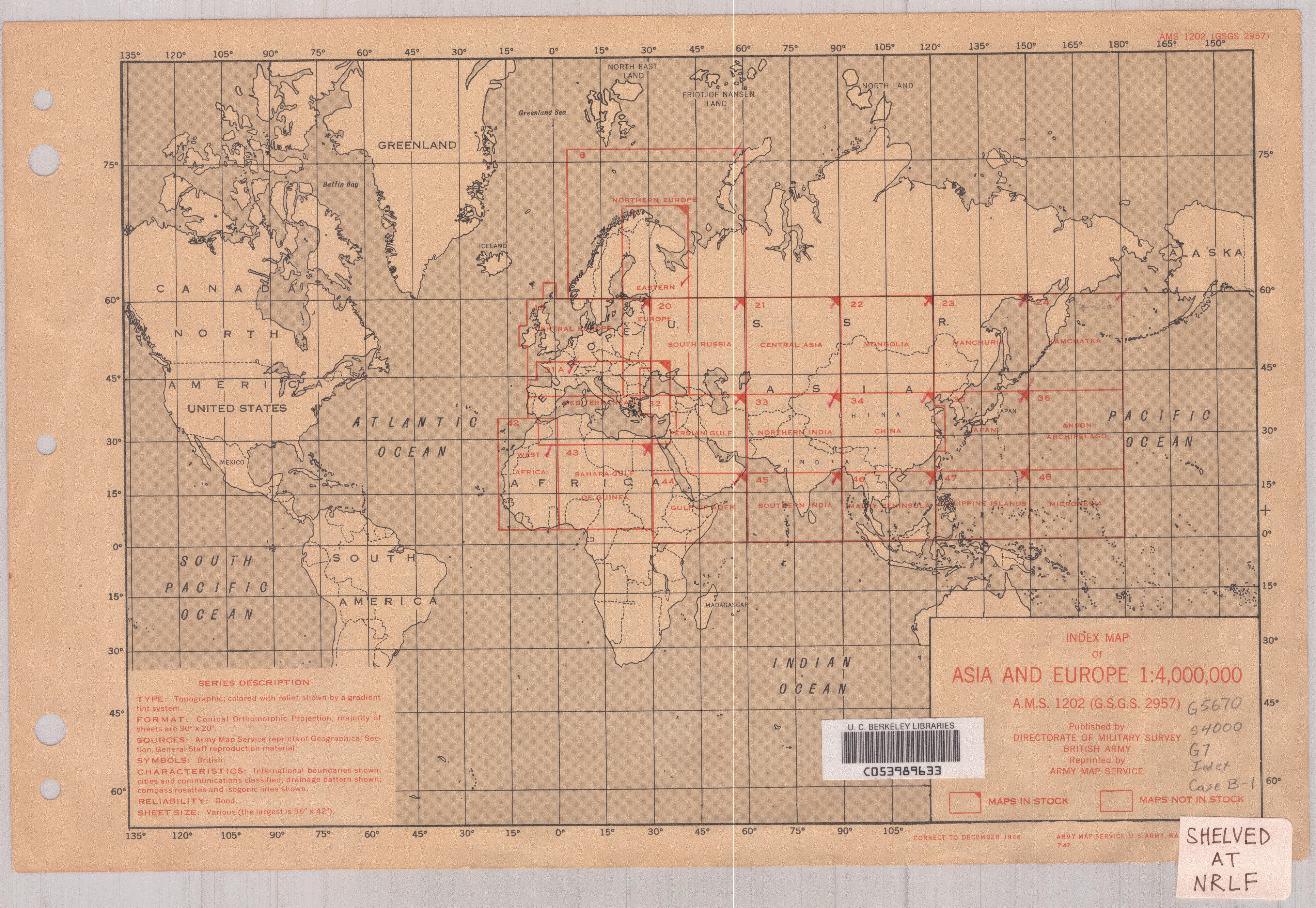
| Item Description: | "Conical orthomorphic projection with two standard parallels." Most sheets cover 10° of latitude by 15° of longitude. Sheets also cover Europe and parts of Africa. Set includes various issues of some sheets, some reissued by the U.S. Army Map Service, British Army Middle East Forces (M.D.R. 533) and British General Staff Geographical Section, India Command (Hind 1002) Statements of authorship vary. Elevations shown by altitude tints. Sheets 8, 19 and 31A covering Europe have title: Scale 1:4,000,000; sheets 42 (West Africa) and 43 (Sahara--Gulf of Guinea) have title: Asia and Europe, scale 1:4,000,000; sheets 42 and 43 "compiled, drawn and photolithographed by John Bartholomew and Son limited." Marginal maps: Index to adjoining sheets.--Index to boundaries. Relief indicated by color, contours, and spot heights. Cartographic material. |
|---|---|
| Physical Description: | 18 maps : color ; 95 x 105 cm. or smaller. |